We provide bespoke meteorological forecasts and (re)analysis with a combination of proprietary software and state-of-the-art apps such as WRF-ARW or MPAS. The simulations use global, regional or local meshes and can cover any area worldwide. Some of the advantages associated with bespoke simulations involve higher accuracy, the ability to tailor simulations to specific needs, and the feasibility of being used to perform other simulations based on their outputs. Standard outputs include netCDF files and meteorological variables tabulated in CSV files. Additionally, animations and outputs in other formats are available upon request.
Regional simulations
Regional simulations with unstructured Voronoi meshes facilitate the creation of more customized domains to forecast and analyze meteorological phenomena. Regional simulations are an alternative (and eventually their replacement) to WRF simulations as they provide greater flexibility in the definition of the target domain and the fitting of variable resolution meshes, thus eliminating the need for nested domains. When used properly, regional simulations result in more customizable domains at affordable costs. In the public cloud (AWS), a combination of these features with Graviton4 and Graviton5 processors results in affordability for teams not wishing to simulate the entire globe due to cost and/or computational time constrains.
Global meteorological forecasts
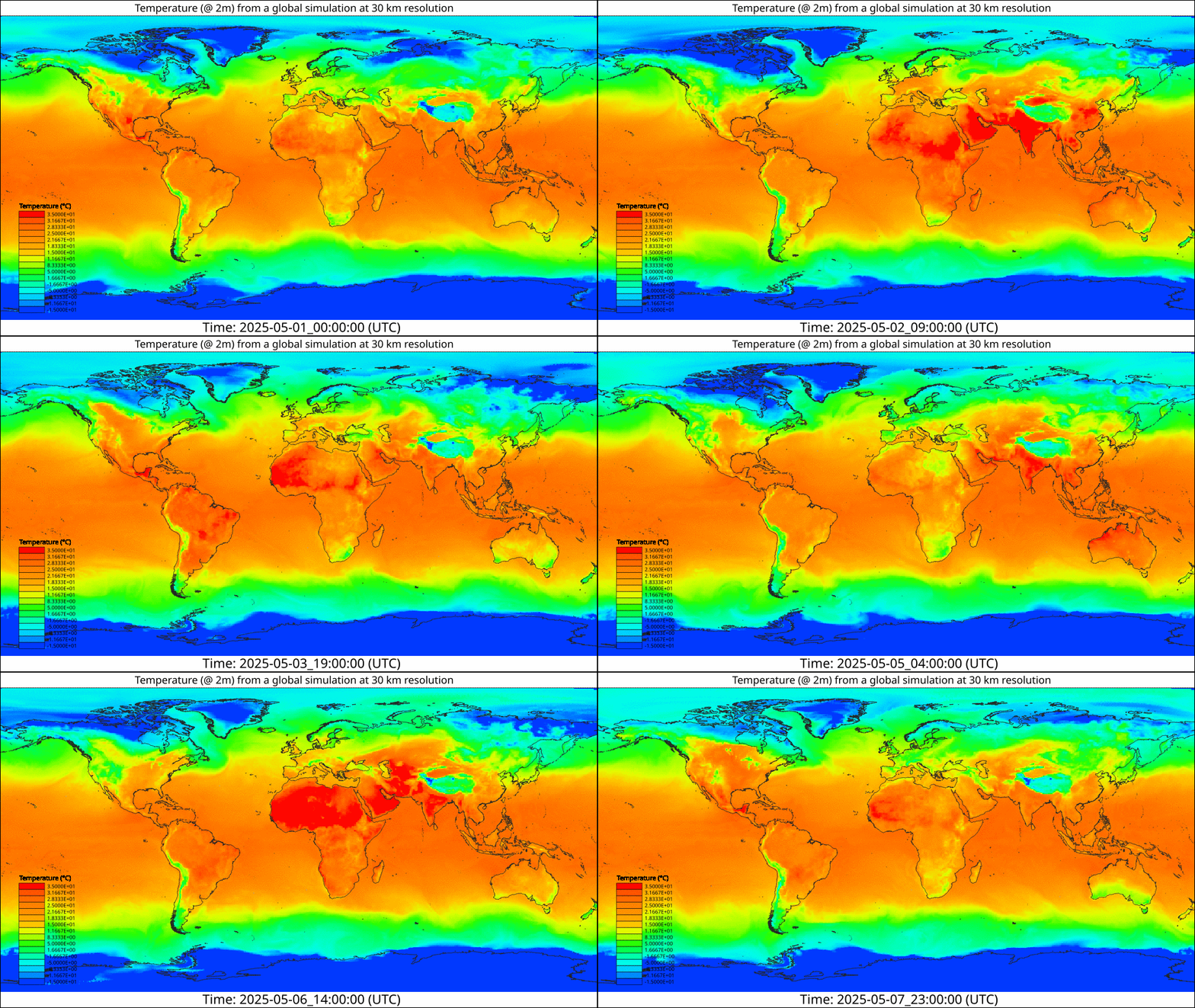
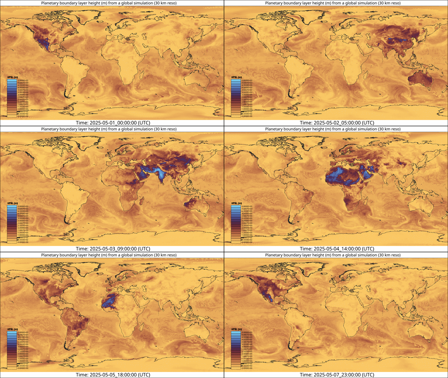
Global meteorological forecasts cover the entirety of the globe. These simulations use either cells of (nearly) uniform size or meshes with refinements at any point in the globe. The below animations show the variations in several variables from a global simulation with an average cell size of 30 km.
Local meteorological forecasts
Local meteorological forecasts and reanalysis are the most common type of weather simulations as they target specific areas. This approach allows scientists and modelers to adjust for different levels of refinement and time frames. The most widely software used to perform these simulations is WRF partially because of its flexibility and many options. One specific area of current development is modeling of urban area. This sub-field is quickly evolving due not only to the enhancements in algorithms, but also because of the availability of detailed mapping characterizing urban features.
Contact us () for any questions or an estimate for bespoke weather simulations.